Chester Geotechnical Engineering Ltd

Geophysics
Chester Geotechnical Engineering Limited offers a variety of geophysical services to help clients understand the subsurface conditions at a site. Geophysics is the study of the physical properties and processes of the Earth and its surrounding space environment. Geophysical methods can be used to image the subsurface and identify potential hazards or challenges that may impact a proposed development project.
Some of the geophysical services that Chester Geotechnical Engineering Limited offers include:
Seismic surveys use sound waves to image the subsurface and identify potential hazards, such as faults, fractures, and sinkholes.
Magnetic surveys use magnetic fields to identify potential hazards, such as buried metallic objects and magnetic rock formations.
Electrical resistivity surveys use electrical currents to measure the electrical conductivity of the subsurface. This information can be used to identify potential hazards, such as groundwater contamination and voids in the subsurface.
GPR uses high-frequency radar waves to image the subsurface and identify potential hazards, such as buried utilities and archaeological features.
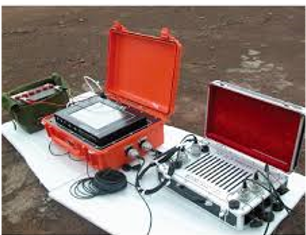
Chester Geotechnical Engineering Limited has a team of experienced geophysicists who are capable of using a variety of geophysical methods to collect data about the subsurface conditions at a site. This data is then analyzed to develop a comprehensive understanding of the subsurface and to identify any potential hazards or challenges that may impact a proposed development project.